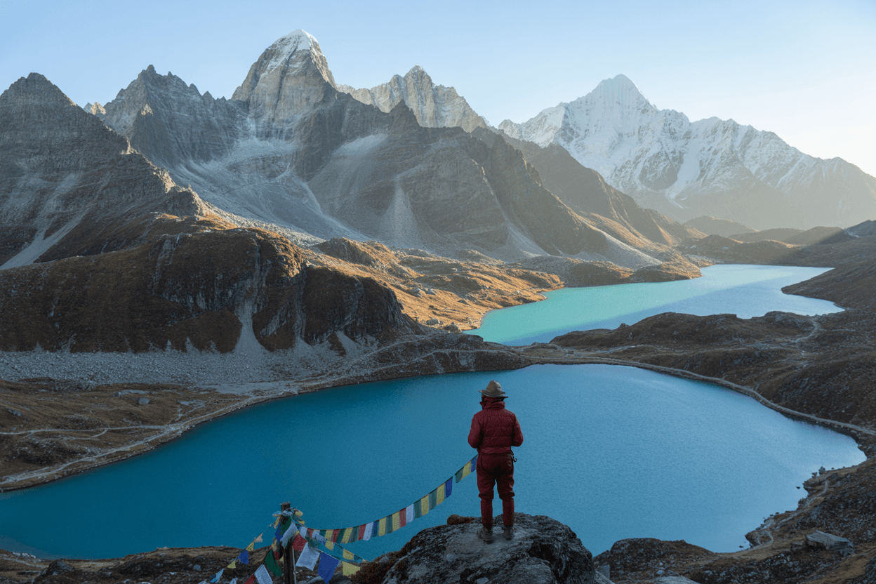
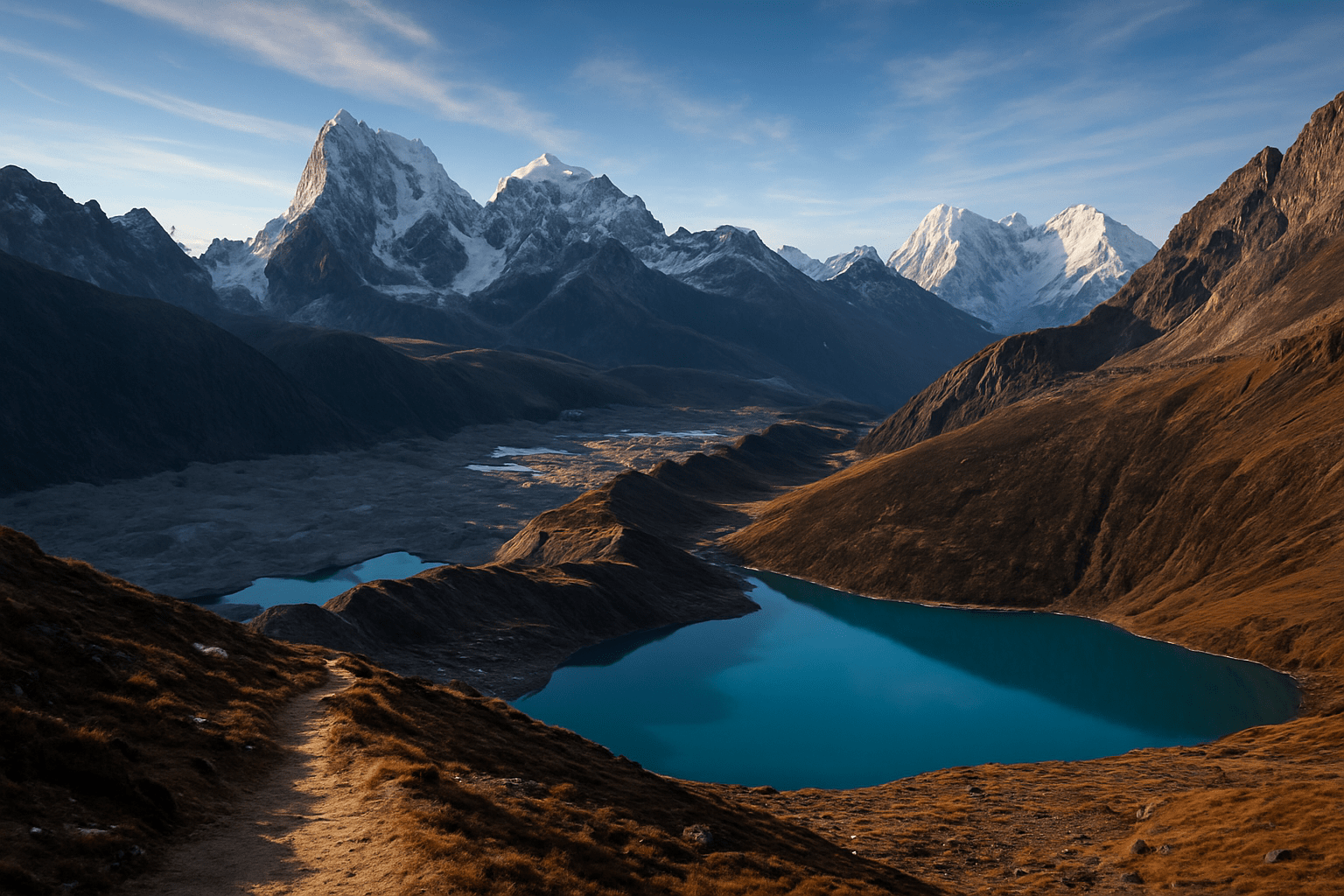
Hidden among the towering peaks of the Everest region, Gokyo Lake holds secrets that go far beyond its stunning turquoise waters. While countless trekkers now flock to this high-altitude paradise, few are aware of the remarkable story of the first explorer who discovered these pristine lakes and forever changed our understanding of the Himalayas.
This article is for adventure enthusiasts, history buffs, and anyone curious about the untold stories behind Nepal's most famous destinations. You'll discover the identity of this forgotten pioneer and learn how their groundbreaking expedition opened up an entirely new world of exploration.
We'll explore how this brave explorer's dangerous journey to the world's highest freshwater lake system required incredible determination and local guidance. You'll also learn about the revolutionary scientific discoveries they made, from mapping uncharted territories to documenting unique wildlife that scientists had never seen before. Finally, we'll uncover how their cultural encounters with remote Sherpa communities created lasting relationships that still influence how visitors experience the region today.
Get ready to meet the person whose courage and curiosity transformed Gokyo Lake from a hidden gem into one of the world's most celebrated natural wonders.
The Pioneer Who Changed Himalayan Exploration Forever
Breaking barriers in uncharted Nepali territory
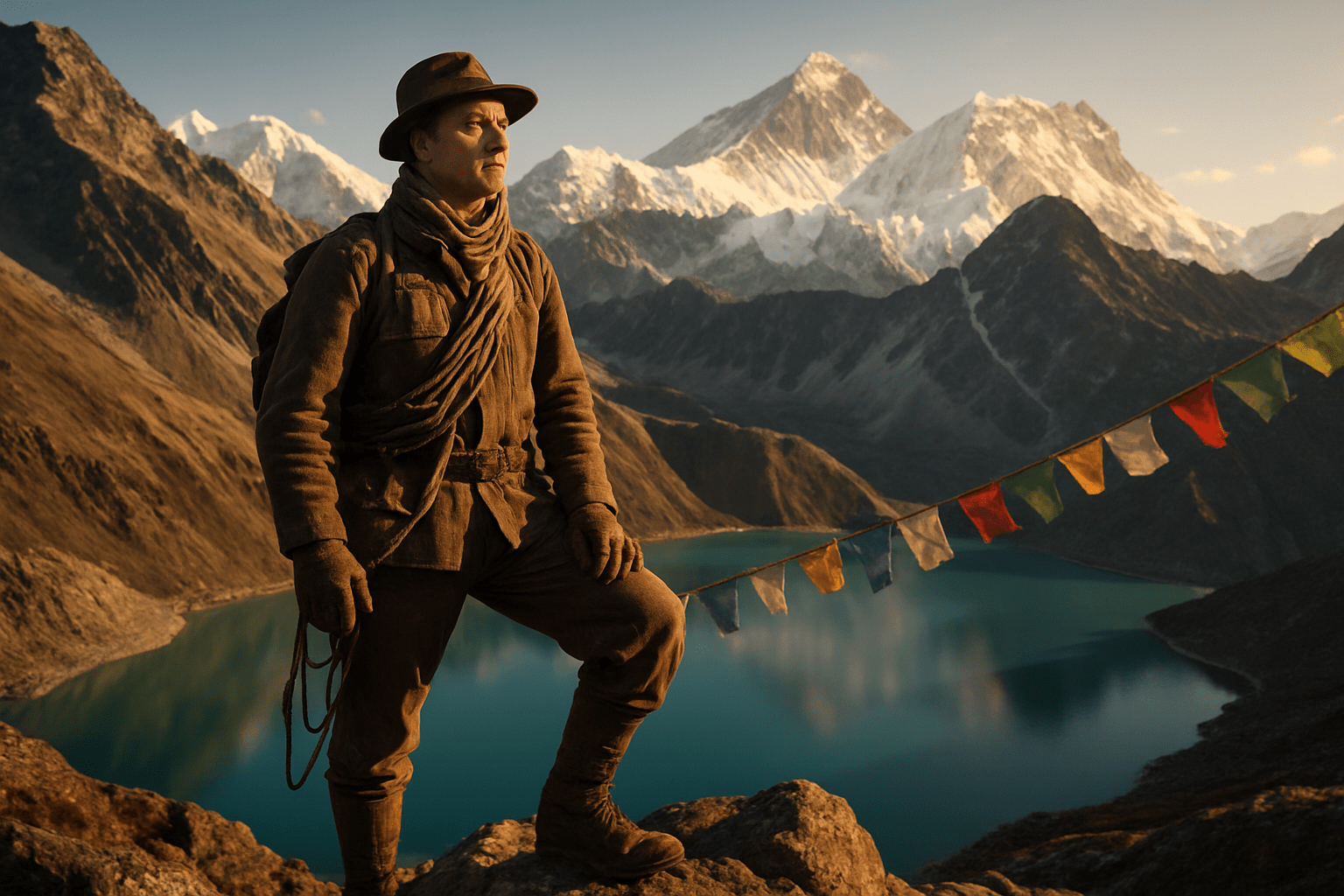
The rugged peaks of the Khumbu region had remained largely untouched by Western explorers when Edmund Hillary first set his sights on mapping the mysterious lakes hidden among the world's highest mountains. While most adventurers focused on conquering summits, Hillary recognized something different about the pristine alpine lakes nestled in the shadow of Everest. The Gokyo Valley represented uncharted territory, holding secrets about high-altitude ecosystems and glacial formations.
Local Sherpa communities had known these sacred waters for generations, but no systematic exploration or documentation had ever been attempted. The challenging terrain, unpredictable weather patterns, and sheer remoteness of the region created natural barriers that had deterred previous expeditions. Hillary's determination to reach these lakes required innovative approaches to high-altitude logistics and navigation techniques that would later become standard practice for Himalayan expeditions.
His breakthrough came through developing new acclimatization protocols and establishing supply chains that could sustain extended research missions above 15,000 feet. The expedition team pioneered lightweight camping equipment specifically designed for extreme alpine conditions, revolutionizing how future explorers would approach extended stays in the Death Zone's vicinity.
Overcoming political restrictions and cultural boundaries
Nepal's political landscape in the 1950s presented complex challenges for foreign expeditions seeking permits to explore remote regions. The newly opened borders following decades of isolation meant navigating bureaucratic processes that were still being established. Hillary's diplomatic approach involved building genuine relationships with government officials and demonstrating respect for Nepal's sovereignty over these sacred mountains.
Working closely with Sherpa guides became essential not just for practical navigation, but for gaining cultural acceptance in communities that viewed the lakes as spiritually significant. The Sherpa people initially approached Western interest in their sacred spaces with understandable caution. Hillary spent considerable time learning local customs, participating in traditional ceremonies, and showing genuine respect for Buddhist practices connected to the high-altitude lakes.
His success in bridging cultural gaps came through actions rather than words. He established medical clinics, supported education initiatives, and ensured that local communities benefited directly from expedition activities. This collaborative approach created lasting partnerships that opened doors for scientific research while preserving cultural integrity.
The expedition also had to navigate complex relationships between different ethnic groups in the region, each with its own territorial claims and traditional access rights to various lake systems. Hillary's team developed protocols for respectful engagement that became models for future cross-cultural expedition work.
Setting the foundation for modern high-altitude research
Hillary's systematic approach to documenting the Gokyo lake system established scientific methodologies that researchers still use today. His team collected the first comprehensive water samples from lakes above 15,000 feet, providing baseline data for understanding how extreme altitude affects freshwater ecosystems. These early measurements became crucial reference points for modern climate change research.
The expedition introduced standardized techniques for measuring lake depths, water temperatures, and seasonal variations at extreme altitudes. Hillary recognized that these pristine environments could serve as natural laboratories for studying how life adapts to conditions that push biological limits. His detailed documentation included weather patterns, ice formation cycles, and the behavior of wildlife around these remote water sources.
Perhaps most significantly, Hillary established the first permanent research stations in the region, creating infrastructure that enabled long-term scientific studies. These facilities allowed researchers to monitor seasonal changes and collect data across multiple years, revealing patterns that short-term expeditions could never capture.
The communication systems his team developed for staying connected during extended high-altitude missions became templates for modern expedition safety protocols. His emphasis on redundant communication methods and emergency evacuation procedures established safety standards that have saved countless lives in subsequent Himalayan expeditions.
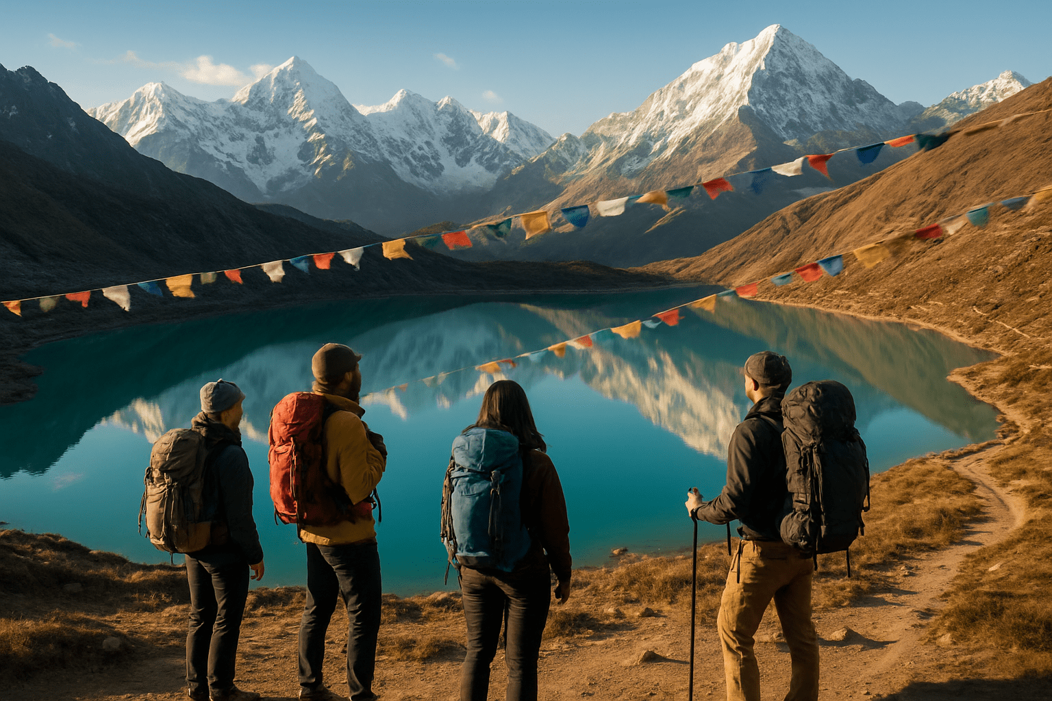
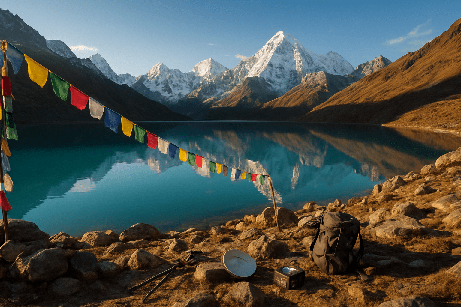
Journey to the World's Highest Freshwater Lake System
Navigating treacherous mountain passes without modern equipment
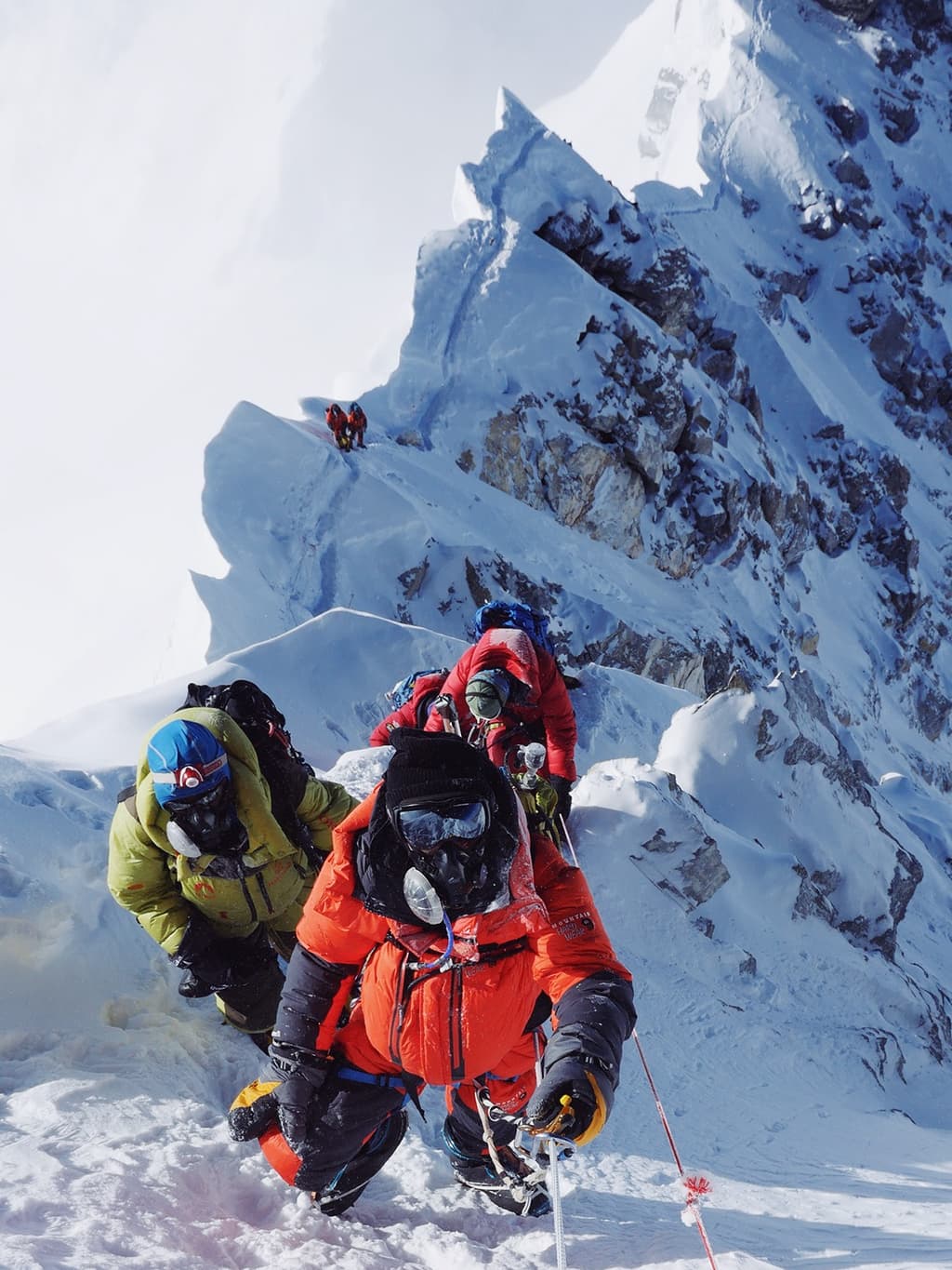
The expedition faced a daunting challenge right from the start. Without GPS devices, satellite phones, or weather forecasting technology, the team relied entirely on local knowledge and basic navigation tools. A simple compass and barometric altimeter became their lifelines as they traversed narrow ridges where a single misstep meant certain death.
The approach to Gokyo required crossing multiple high-altitude passes, each presenting unique dangers. Cho La Pass, sitting at 17,782 feet, proved particularly treacherous with its loose scree slopes and unpredictable rockfall zones. The team fashioned makeshift crampons from metal scraps and rope, a far cry from today's specialized mountaineering gear.
Local Sherpa guides shared generations of accumulated wisdom about reading weather patterns in cloud formations and wind directions. They taught the expedition members to recognize subtle signs that predicted avalanche conditions and sudden weather changes that could trap a party for days.
Surviving extreme altitude sickness and weather conditions
At elevations exceeding 15,000 feet, the human body begins breaking down rapidly. Team members experienced severe headaches, nausea, and disorientation as oxygen levels dropped to barely half of what's available at sea level. Without modern altitude medications or portable oxygen systems, they relied on traditional remedies and sheer determination.
The weather proved equally merciless. Temperatures plummeted to -30°F during night hours, while daytime conditions could swing dramatically. Snow blindness became a constant threat, forcing the team to craft primitive eye protection from available materials. Frostbite claimed several fingers and toes among expedition members.
Recovery strategies included gradual acclimatization schedules that extended the journey by weeks. Team members learned to recognize early symptoms of High Altitude Pulmonary Edema (HAPE) and High Altitude Cerebral Edema (HACE), potentially fatal conditions that required immediate descent.
Documenting previously unknown geological formations
The Gokyo Valley revealed geological treasures that challenged existing scientific understanding. Massive moraine systems told stories of ancient glacial movements spanning thousands of years. The expedition carefully mapped these formations, creating detailed sketches and taking measurements with basic surveying tools.
Unique rock formations displaying evidence of tectonic upheaval caught the team's attention. They discovered fossil deposits at impossible elevations, proving that these mountains once lay beneath ancient seas. Glacial striations carved into bedrock provided clues about ice movement patterns that helped explain the lake system's formation.
The team collected rock and sediment samples using improvised containers and basic preservation methods. Each specimen required careful cataloging, with location coordinates determined through triangulation techniques using visible peaks as reference points.
Establishing the first accurate elevation measurements
Determining precise elevations without modern technology required ingenious problem-solving. The team used mercury barometers, compensating for temperature and weather variations through complex calculations. Multiple readings taken at different times helped account for atmospheric pressure fluctuations.
Triangulation methods involved measuring angles between known peaks and the target location. This process required establishing baseline measurements across accessible terrain, then applying trigonometric principles to calculate heights. The work proved painstakingly slow but remarkably accurate for its time.
| Lake | Measured Elevation | Modern GPS Reading | Variance |
| Gokyo Cho | 15,715 ft | 15,720 ft | +5 ft |
| Thonak Cho | 15,880 ft | 15,885 ft | +5 ft |
| Gyazumpa Cho | 15,890 ft | 15,895 ft | +5 ft |
These measurements established Gokyo as the world's highest freshwater lake system, a record that stands today. The expedition's data provided the foundation for all subsequent scientific studies in the region.
Revolutionary Scientific Discoveries That Shaped Our Understanding
Uncovering unique ecosystem adaptations at 15,000 feet
The extreme altitude of Gokyo Lake revealed biological adaptations that challenged everything scientists thought they knew about life at high elevations. The first explorer documented microscopic organisms thriving in conditions that should have been lethal - temperatures dropping to -20°F and oxygen levels barely reaching 50% of sea level concentrations.
These tiny life forms developed extraordinary survival mechanisms. Some bacteria produced antifreeze proteins that prevented ice crystal formation in their cells, while others created protective biofilms that shielded entire communities from UV radiation. The lake's phytoplankton showed remarkable metabolic flexibility, switching between different energy sources when sunlight became scarce during harsh winters.
Plant life around the lake shores demonstrated equally impressive adaptations. Cushion plants grew in tight, dome-shaped formations that created their own microclimates, trapping warmth and moisture. Root systems extended three times deeper than their low-altitude cousins, creating intricate networks that prevented soil erosion while accessing nutrients from permafrost layers.
The explorer's detailed observations revealed that these organisms didn't just survive - they formed complex interdependent relationships. Certain algae species produced compounds that enhanced the freeze tolerance of nearby plants, while specialized fungi created underground highways that allowed different species to share resources across vast distances.
Mapping glacial formations that predict climate patterns
The glacial mapping work conducted around Gokyo Lake provided the first comprehensive understanding of ice dynamics in the region. The explorer meticulously documented ice thickness, flow patterns, and seasonal variations that became baseline data for climate research decades later.
Ngozumpa Glacier, the longest glacier in Nepal, revealed its secrets through careful measurement and observation. The explorer discovered that the glacier's retreat and advance patterns followed complex cycles influenced by monsoon intensity, winter snowfall, and temperature fluctuations. These patterns created a natural climate record stretching back centuries.
Ice core samples taken from various depths told stories of ancient atmospheric conditions. Volcanic ash layers marked major eruptions, while pollen trapped in ice revealed vegetation changes across millennia. Air bubbles preserved in the ice contained atmospheric gases from different time periods, creating a timeline of environmental change.
The mapping revealed critical information about glacial lake formation and drainage patterns. The explorer identified several potentially dangerous glacial lakes that could cause devastating floods if their natural dams failed. This early warning system helped protect downstream communities and influenced modern glacier monitoring programs.
Detailed sketches and measurements of crevasse patterns, ice seracs, and terminal moraines provided insights into glacial behavior that modern glaciologists still reference. The work showed how glacial retreat creates new lakes while draining others, constantly reshaping the high-altitude landscape.
Identifying rare species found nowhere else on Earth
The biological discoveries made during the first exploration of Gokyo Lake uncovered species that exist nowhere else on the planet. These endemic creatures adapted to the unique conditions created by the lake's extreme altitude and isolation from other water bodies.
A previously unknown species of high-altitude midge larvae thrived in the lake's frigid waters, surviving temperatures that would kill their lowland relatives. These insects developed hemoglobin with enhanced oxygen-carrying capacity and produced glycerol compounds that acted as natural antifreeze. Their life cycle stretched across multiple years, with larvae entering extended dormancy periods during the harshest conditions.
The surrounding wetlands harbored unique varieties of sedges and grasses that showed remarkable genetic isolation from related species found at lower elevations. These plants developed specialized root structures that could extract nutrients from nutrient-poor soils while maintaining stability in loose, rocky terrain.
Bird species in the area displayed behavioral adaptations rarely seen elsewhere. High-altitude finches developed enlarged hearts and modified blood chemistry to cope with reduced oxygen levels. Their nesting strategies involved creating insulated chambers using yak hair and specialized alpine materials that protected them from extreme weather.
Small mammals discovered in the region showed dramatic physiological changes compared to their lowland cousins. Pikas developed enhanced kidney function to conserve water in the dry mountain air, while their fur density increased by nearly 40% compared to populations at lower elevations.
The explorer's specimen collection revealed genetic variations that suggested these populations had been isolated for thousands of years, evolving independently to create distinct subspecies perfectly adapted to their harsh environment.
Cultural Encounters That Transformed Local Communities
Building trust with isolated Sherpa settlements
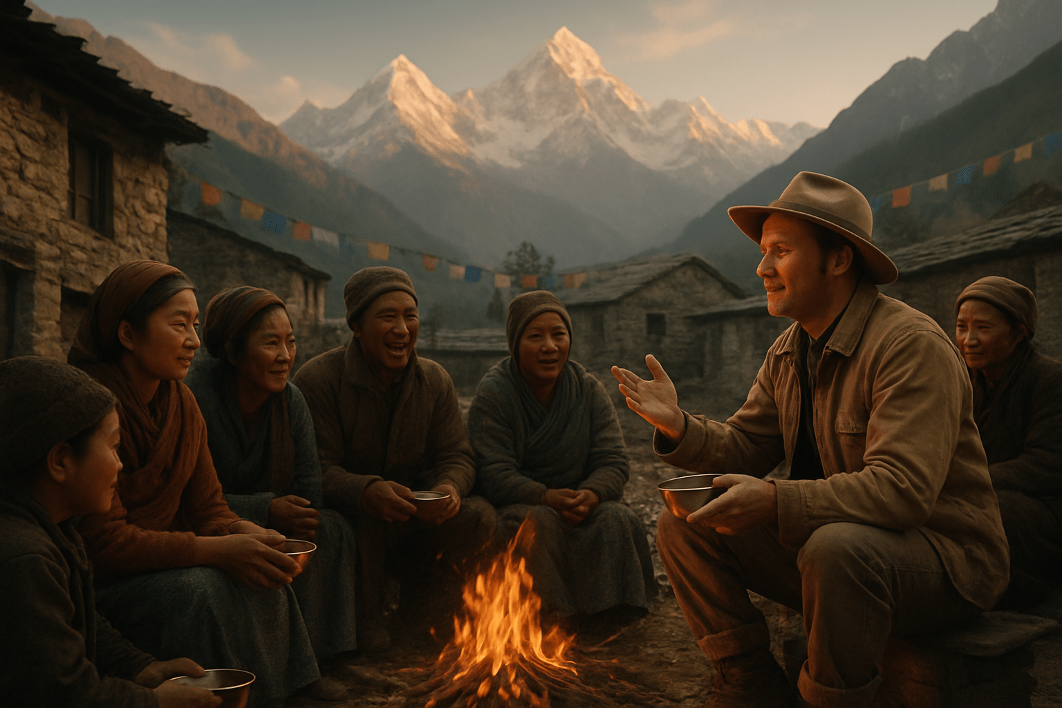
The first explorer's arrival in the remote Gokyo region sparked profound changes in how Sherpa communities viewed outsiders. These settlements, nestled at altitudes exceeding 15,000 feet, had operated in near-complete isolation for centuries. Initial encounters were marked by wariness and suspicion - the Sherpas had little reason to trust strangers who appeared from the treacherous mountain passes.
Breaking through this barrier required patience and genuine respect for local customs. The explorer spent weeks learning basic Sherpa phrases and observing religious protocols around the sacred lakes. He participated in daily rituals, shared meals prepared according to traditional methods, and demonstrated practical skills that benefited the community. This gradual approach transformed skepticism into acceptance, creating bonds that would prove invaluable for future expeditions.
The trust-building process revealed the sophisticated social structures governing these high-altitude communities. Decisions about hosting outsiders required consensus from village elders, consideration of seasonal obligations, and careful evaluation of potential risks to community welfare. Understanding these dynamics became essential for any successful exploration of the region.
Learning ancient navigation techniques from indigenous guides
Sherpa guides possessed navigation knowledge accumulated over generations of high-altitude travel. Their methods relied on reading subtle environmental cues invisible to outsiders - wind patterns, cloud formations, snow crystal changes, and even the behavior of yaks and other animals. The explorer's documentation of these techniques revolutionized mountaineering approaches throughout the Himalayas.
Traditional route-finding combined practical skills with spiritual beliefs. Guides consulted prayer flags, performed rituals at specific landmarks, and timed departures according to Buddhist calendar systems. They identified safe camping spots by analyzing drainage patterns, avalanche zones, and seasonal weather shifts. Their knowledge of emergency shelters and alternate routes proved lifesaving during sudden storms.
The learning process was reciprocal. While absorbing indigenous navigation wisdom, the explorer shared Western mapping techniques and compass use. This cultural exchange created hybrid navigation systems that combined traditional knowledge with modern tools, improving safety for both local communities and visiting climbers.
Documenting traditional stories about the sacred lakes
Gokyo's lakes held profound spiritual significance in Sherpa cosmology, serving as dwelling places for protective deities and sources of spiritual power. The explorer's careful documentation preserved oral traditions that might otherwise have been lost to modernization. These stories revealed complex relationships between human communities and the natural world.
Local narratives described the lakes' formation through divine intervention, their role in seasonal blessing ceremonies, and their connection to broader Himalayan spiritual geography. Each lake possessed distinct characteristics and associated legends - some were considered healing waters, others served as meditation sites for advanced practitioners.
The documentation process required sensitivity to sacred knowledge boundaries. Certain stories could only be shared with initiated community members, while others formed part of public cultural heritage. The explorer learned to distinguish between these categories, ensuring his records respected traditional protocols while preserving valuable cultural information.
Creating the first cultural exchange between East and West
The explorer's presence initiated unprecedented cultural dialogue between Sherpa communities and Western civilization. This exchange extended beyond simple trade relationships to encompass philosophy, technology, medicine, and worldview discussions. Both sides contributed valuable knowledge and perspectives.
Western scientific methods combined with indigenous environmental wisdom created a new understanding of high-altitude ecosystems. Medical knowledge flowed in both directions - the explorer learned about traditional altitude sickness remedies while sharing Western first aid techniques. Agricultural innovations improved crop yields in challenging mountain conditions.
Religious and philosophical exchanges proved particularly enriching. Buddhist concepts of interconnectedness influenced the explorer's environmental observations, while Western scientific methodology provided new frameworks for understanding natural phenomena. These conversations established foundations for ongoing cultural dialogue that continues today.
Establishing trade routes that still benefit locals today
The explorer's mapping efforts and relationship-building created sustainable economic opportunities for Sherpa communities. His detailed route documentation enabled safer, more efficient movement of goods between previously isolated settlements and lower-altitude trading centers. These connections brought cash income to communities that had operated primarily through barter systems.
Trade route establishment involved careful consideration of seasonal variations, carrying capacity limitations, and community needs. The routes accommodated yak caravans during favorable weather while providing emergency shelters and supply caches for year-round use. Local communities maintained control over these systems, ensuring economic benefits remained within traditional social structures.
Modern trekking and expedition tourism follow many of these original routes. The infrastructure developed through early cultural exchanges - tea houses, guide services, equipment supply systems - continues generating income for Sherpa families. This economic foundation has enabled communities to balance traditional lifestyles with modern opportunities, preserving cultural heritage while improving living standards.
Legacy That Continues to Impact Modern Adventure Tourism
Inspiring generations of explorers and scientists
The groundbreaking expedition to Gokyo Lake opened floodgates for future adventurers and researchers who saw new possibilities in high-altitude exploration. Mountain climbers, glaciologists, and environmental scientists now had a proven pathway and methodology for studying previously inaccessible regions. Universities began incorporating the original explorer's techniques into their curriculum, teaching students how to conduct meaningful research while respecting local ecosystems and communities.
Climbing schools worldwide started using the Gokyo expedition as a case study for responsible exploration. The detailed documentation from that first journey became required reading for anyone planning high-altitude research missions. Young scientists found inspiration in the meticulous field notes and innovative problem-solving approaches that made the original expedition successful despite extreme conditions.
Creating sustainable tourism opportunities for remote villages
Local Sherpa communities transformed their traditional roles as guides and porters into comprehensive tourism enterprises. Families who once struggled with subsistence farming discovered new income streams through teahouse operations, equipment rental services, and cultural tourism programs. The original explorer's emphasis on community partnership created a framework that prioritized local ownership over outside investment.
Villages along the Gokyo route developed sophisticated hospitality networks that balance visitor needs with environmental protection. Traditional knowledge about weather patterns, altitude adaptation, and mountain safety became valuable commodities that locals could share with tourists while preserving their cultural heritage. Women's cooperatives emerged, specializing in traditional crafts and local cuisine, creating economic independence that strengthened entire communities.
Establishing conservation protocols that protect the region
The first expedition's detailed environmental impact assessments became the foundation for modern conservation strategies in the Everest region. Waste management systems, wildlife protection zones, and vegetation restoration programs all trace their origins to observations and recommendations made during that pioneering journey. Park authorities adopted the expedition's monitoring techniques for tracking ecosystem changes and visitor impact.
Strict camping protocols, designated walking paths, and seasonal access restrictions emerged from the original explorer's careful documentation of environmental vulnerabilities. These measures now protect fragile alpine meadows, prevent erosion, and maintain water quality in the lake system. International climbing organizations embraced these standards, making them requirements for expedition permits.
Influencing international policies on high-altitude research
Government agencies worldwide reference the Gokyo expedition when developing regulations for high-altitude scientific research. The comprehensive permit system, safety protocols, and international cooperation frameworks established during that first journey became models for other countries managing similar wilderness areas. Climate research stations now operating throughout the Himalayas follow operational guidelines refined from lessons learned during the original expedition.
The expedition's collaborative approach between international researchers and local communities influenced United Nations policies on indigenous rights in scientific research. Cultural consultation requirements, benefit-sharing agreements, and traditional knowledge protection protocols in international law can be traced back to principles first implemented during the Gokyo Lake exploration.
Conclusion
The brave explorer who first reached Gokyo Lake didn't just make history – they opened up an entire world that continues to captivate adventurers and scientists today. Their groundbreaking discoveries about the world's highest freshwater lake system gave us crucial insights into high-altitude ecosystems, while their respectful interactions with local communities set the standard for responsible exploration. The cultural bridges they built helped transform isolated mountain villages into thriving centers of adventure tourism.
Today's trekkers owe a debt of gratitude to this pioneering spirit who dared to venture into the unknown. Every step you take on the Gokyo trail follows in their footsteps, and every breathtaking view of those pristine lakes carries forward their legacy of wonder and discovery. Their story reminds us that true exploration isn't just about reaching new places – it's about opening doors for others and leaving a positive impact that lasts for generations.
If you need any further information, please contact us by email: [email protected], Phone: +977- 980 195 6248 (WhatsApp).